


Land Cover Classification in Okinawa

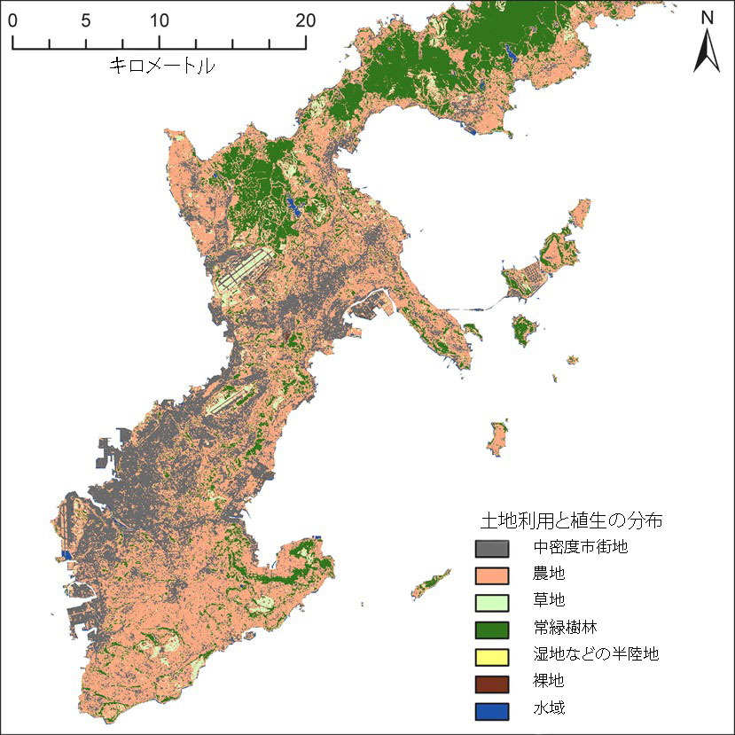
OIST researchers used satellite imaging to classify land cover in Okinawa over the last 30 years. They also collected data about the land topography, soil types and temporal distribution of rainfall to estimate the amount of sediment runoff reaching the ocean.
Date:
27 January 2017
Copyright OIST (Okinawa Institute of Science and Technology Graduate University, 沖縄科学技術大学院大学). Creative Commons Attribution 4.0 International License (CC BY 4.0).
Share on:


