


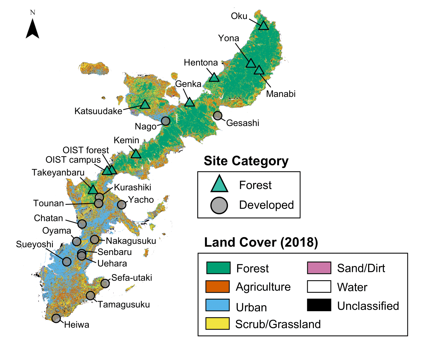
Landsat 8 image of Okinawa with land cover

Map of Okinawa with different land cover types and field site locations derived from a 2015 Landsat 8 image. Credit: Kenneth Dudley, Environmental Science and Informatics Section, OIST. Credit: Kenneth Dudley, Environmental Science and Informatics Section, OIST.
Date:
05 December 2023
Copyright OIST (Okinawa Institute of Science and Technology Graduate University, 沖縄科学技術大学院大学). Creative Commons Attribution 4.0 International License (CC BY 4.0).
Share on:


